
Wheaton ZIP Code Directory Areas
Three ZIPs appear around Wheaton in the official sources: 60187, 60188, and 60189. They are delivery labels, not a clean set of municipal polygons. The first and third are the main Wheaton postal zones. The second supplies the clearest local mismatch: an address within Wheaton government records can use Carol Stream as its postal last line.
| ZIP | Local Coverage Anchors | Post Office | Research Note |
|---|---|---|---|
| 60187 | Core and north Wheaton examples, including City Hall and library | Wheaton Main | Do not infer city limits from the delivery zone |
| 60188 | Edge address examples tied to Wheaton jurisdiction | Carol Stream | Postal city and municipality can differ |
| 60189 | South Wheaton, Danada, Muirfield, and city facility examples | Wheaton South | Expanded through the 2008 postal realignment |
No official text capture supplied exact boundary lines, ZIP+4 ranges, or a complete count of addresses. The table therefore uses documented public anchors instead of invented neighborhood polygons. Confirm any single address with USPS and then check its parcel jurisdiction.
Wheaton Main Serves 60187
The USPS Wheaton Main location record is the official postal anchor for 60187. Local examples in the research include Wheaton City Hall and Wheaton Public Library. Those examples show the ZIP in use, but they do not define every edge of the zone.
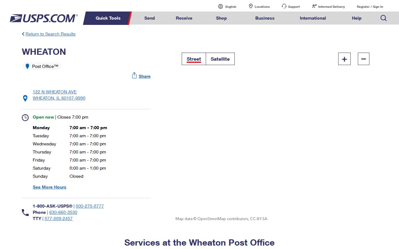
The captured location page gives the current USPS station context. Use its service details for postal questions, while City and DuPage systems remain the source for municipal, parcel, tax, and district status.
Wheaton South Anchors 60189
The USPS Wheaton South record anchors 60189. Research also found the ZIP on Wheaton South, Danada, Muirfield, and City facility examples. These are good checkpoints when a search result offers several similarly named areas.
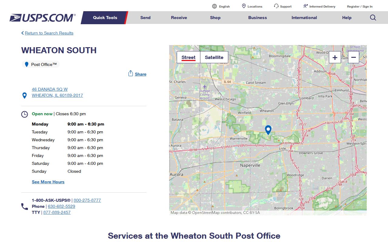
The station image supports the postal side of the ZIP code directory. It should be paired with the assessor or GIS when the goal is to identify a municipality, parcel, or taxing district.
Wheaton ZIP Realignment in 2008
ZIP 60189 has a precise local story. An official USPS Postal Bulletin says 13,757 deliveries moved from 60187 to 60189 on July 1, 2008. That change can split one person or address across sources. A record created before the effective date may carry 60187 while a later postal record uses 60189, even if the physical site did not move.
When dates straddle the change, search both ZIP forms and keep the source date. Do not “correct” the older record without noting the bulletin. The realignment is a postal change, not proof of annexation, a property transfer, or a move. This is the key time-based quirk in the Wheaton ZIP code directory.
| Date | Postal Event | Search Effect |
|---|---|---|
| Before July 1, 2008 | An affected delivery may appear as 60187 | Keep 60187 in historical queries |
| July 1, 2008 | USPS realignment became effective | Record the change date with the address |
| After realignment | An affected delivery uses 60189 | Verify the current form with USPS |
Why Wheaton Can Use 60188
The 60188 zone shows why ZIP and city should never be treated as synonyms. Research found an official Wheaton example at 945 W Geneva Road that carries Carol Stream 60188 as the postal last line. The public body using the address still identifies the Wheaton jurisdiction. The two labels answer different questions.
The USPS Carol Stream location page provides the postal station context for 60188.
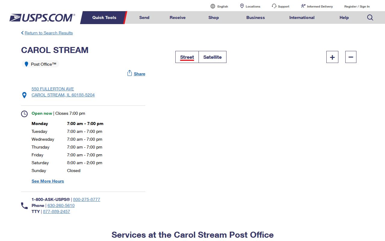
The image confirms the postal source, while the official Wheaton address example supplies the municipal clue. For a disputed edge address, the parcel profile and GIS are stronger jurisdiction checks than the mailing city.
Find Wheaton Residents by ZIP
A ZIP search narrows a place but does not return a verified resident roster. DuPage Property Lookup accepts ZIP as part of address and combined property searches. It returns parcel and tax-record relationships. The voter portal is designed for a person’s own registration and district questions, not a downloadable ZIP directory. Follow the record’s purpose at each step.
- Verify the full mailing address with the official USPS address tool. Keep any ZIP+4 shown for that exact delivery.
- Enter the ZIP in the DuPage assessor address or combined search. Add city, street, or house number to reduce false matches.
- Open the parcel profile and compare the situs city, PIN, township, and taxing districts. The billing address is a separate field.
- Use the Parcel Viewer for the site and nearby boundary context. Do not turn mapped parcels into an occupancy claim.
- When one street is known, move to the Wheaton streets lookup for the address-level record chain.
For historic work, repeat the search with the ZIP used at the record date. Also check a retired house number if a City address-change notice documents one.
Wheaton Property ZIP Fields
The DuPage assessor provides the most useful ZIP-capable local public portal captured in the research. Its address search exposes address number, street, city, ZIP, sort order, direction, and page size. The combined search adds Parcel ID, owner, billing name, address parts, township, and a city list that includes WHEATON. Instructions say to use one parameter family, which helps prevent conflicting inputs.
| Field | Input | Useful For | Caution |
|---|---|---|---|
| Address No. | House number | Narrowing one delivery | Older records may use a retired number |
| Street | Street name | Grouping parcels within one ZIP | Direction and type may be separate |
| City | List including WHEATON | Portal jurisdiction label | Not the same as postal city in all cases |
| Zip Code | Five-digit ZIP | Filtering parcel results | Not an occupancy filter |
| Sort | PIN, owner, address, city | Reviewing a result set | Results remain tax records |
| Township | Portal selection | Checking county geography | Township and city are distinct |
The portal disclaimer bars automated mining and warns that data can change. Use it one query at a time. Call the DuPage assessment office at 630-407-6500 if the current assessment view and an older document disagree.
Wheaton ZIP Versus City Limits
Postal, municipal, township, school, park, library, fire, and tax boundaries can all differ. The ZIP code directory should therefore answer “where does mail go?” first. It cannot answer “which government controls this parcel?” without a parcel profile, map, or official municipal record. The 60188 example makes that mismatch visible; the 2008 realignment shows it can also change over time.
- ZIP code
- A USPS routing code for mail delivery, not a city boundary.
- ZIP+4
- A more precise USPS routing extension for a delivery segment. Confirm it for the full current address.
- PO-box ZIP
- A ZIP assigned mainly or wholly to post office boxes. No separate Wheaton-only box ZIP was established in the research.
- Unique ZIP
- A code assigned to one high-volume organization. No Wheaton unique ZIP was documented here.
- Carrier route
- A group of delivery points assigned to a postal route. It is not a public resident list.
Boundary check. Use the ZIP for mail, then use the parcel PIN and taxing districts to establish whether an address is actually within Wheaton.
Historic Wheaton ZIP Searches
Old directories and city records may predate current postal conventions or use a prior house number. Wheaton’s 1915 numbering description used 100 numbers per block, with odd numbers north and east and even numbers south and west. Treat that as period context only. Modern City notices from 2025 and 2026 show that address correction and renumbering still occur.
A solid historical search preserves every alias: old number, new number, street spelling, postal city, ZIP, date, and PIN. Compare the City notice, directory edition, USPS bulletin, assessor situs, Recorder legal description, and map. This avoids forcing a modern ZIP code onto a record created before the code or address form applied.
Reading Wheaton ZIP Results
Results from a ZIP-capable property tool describe parcels, assessments, and billing. Results from USPS describe delivery. A voter district search describes election geography. These systems may share a five-digit value while serving different public tasks. Labeling each output prevents the common myth that a ZIP result is a list of everyone living inside Wheaton.
- Record the portal name and search date.
- Keep the five-digit ZIP separate from any ZIP+4.
- Distinguish situs address from owner billing address.
- Check municipality and tax districts in the parcel record.
- Mark a historical ZIP or number as dated, not current.
The parcel profile adds another local test when a Wheaton mailing label is uncertain. Compare its property location, owner billing address, municipality, township, legal description, and taxing-district tabs rather than relying on one field. Adjacent parcels with the same postal code can fall under different school, park, library, fire, or township districts. That tax-district pattern helps identify the public bodies tied to the land, but it still says nothing about who occupies a house. If the parcel view and postal result conflict, save the PIN and ask the DuPage assessment office which assessment year is displayed. For older Wheaton material, also note whether the source predates the July 2008 shift into 60189. The Recorder document date, City address notice, and dated directory edition can then explain why two valid records use different ZIPs for the same site.
This restrained approach makes a Wheaton ZIP code directory useful for genealogy, address history, civic research, and reconnecting without overstating what postal data can prove.